Survey Point Management
Create, edit, organise and export survey points.

Survey. Process. Model. Deliver.
Manage survey points, process field data, build terrain models, generate contours, profiles and cross sections, and perform professional surveying workflows directly inside AutoCAD.
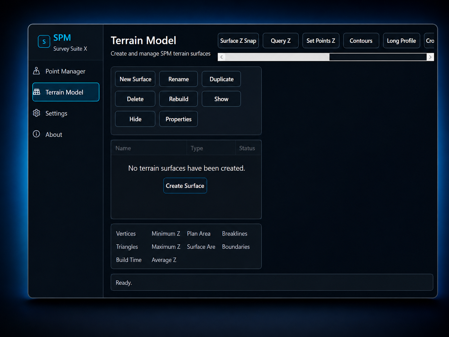
Create, edit, organise and export survey points.
TIN surfaces, contours and terrain analysis.
Long profiles, cross sections and tabulations.
Cut, fill and net volume computations.
Import and export supported LandXML.
Activate once and use offline anywhere.
Powerful tools. Native AutoCAD integration.
Built for surveyors and engineers
Works inside AutoCAD seamlessly
Streamline surveys, drawings and reporting
Independent application built for professionals
Precision Surveying. Professional Results.
Legacy SPM Runtime
Modern SPM Runtime
Compatible Windows environment
Important: Autodesk AutoCAD is not included with SPM Survey Suite X. Customers must have access to a compatible AutoCAD installation and licence. AutoCAD 2027 is not currently advertised as supported.
SPM Survey Suite X gives you a practical surveying workflow directly inside AutoCAD, from point management to terrain modelling, sections, profiles and volume calculations.
After payment, the customer can receive an email receipt that includes the software file, installation instructions, activation guidance and support contact details.
SPM SURVEY SUITE X
One-time software purchase
SPM Survey Suite X is a professional surveying extension for AutoCAD with tools for survey point management, terrain modelling, profiles, sections and other surveying workflows.
No. Autodesk AutoCAD is a separate product and is not included with the purchase.
The current architecture supports AutoCAD 2018 through AutoCAD 2026 on compatible 64-bit Windows systems.
After activation, a permanent internet connection is not required for normal usage.
After installing the software, the customer opens SPM, copies the Machine Request ID and sends it to support@precisionrtk.com. The corresponding licence information is then provided.